Watches & Warnings (Iowa)
Last Updated: Loading...
Active Products
Loading...
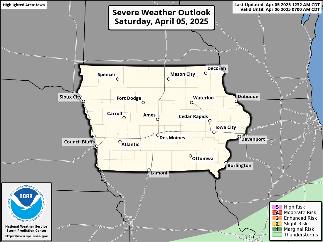
Severe Weather Outlook
Day 1 Severe Weather Outlook

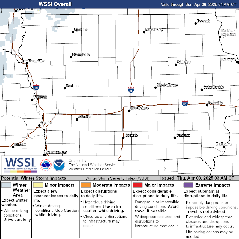
Winter Storm Severity Index
The Winter Storm Severity Index (WSSI) provides a graphic representation of the severity of winter weather conditions, helping to assess the impact of storms.

Iowa Road Conditions
Road conditions in Iowa provided by the Iowa State Patrol and Iowa Department of Transportation (Iowa DOT).

Dense Fog Advisory issued for overnight
A Dense Fog Advisory has been issued through the early morning hours of Sunday.
A Dense Fog Advisory is in effect through 4:00 AM for the area. Expect locally dense fog with visibility dropping to a quarter mile or less in many locations. These conditions can make travel hazardous, especially in rural or low-lying areas where the fog tends to settle more heavily.
Additionally, refreezing of roadways is a concern as temperatures dip overnight. Wet surfaces from melting snow or ice earlier in the day may turn slick, especially on untreated roads, bridges, and overpasses.
Motorists are urged to use caution, reduce speeds, and allow extra travel time. Use low-beam headlights and keep a safe distance from other vehicles. Pedestrians and cyclists should also exercise caution, as visibility may be severely limited.
Ice Storm Warning extended through 6 pm, widespread icy precipitation continues
Freezing rain, sleet, and snow continue to create hazardous conditions across parts of Iowa.
Freezing rain, mixed with sleet and snow in some areas, continues to impact portions of east-central and northern Iowa this afternoon. Ice accumulations of up to a tenth of an inch are still possible, creating hazardous conditions as temperatures remain below freezing. Northern Iowa can expect a wintry mix with light snow later in the day, while central and southern regions are gradually transitioning to cold rain as temperatures rise. Weather warnings and advisories are being updated as conditions improve in some areas.
The National Weather Service has extended the Ice Storm Warning for Marshall, Jasper, and Poweshiek counties until 6 PM CST. Freezing rain continues to create dangerous conditions across the region, including cities such as Marshalltown, Newton, and Grinnell. Additional ice accumulations of up to one-tenth of an inch are expected.
Roads, bridges, and overpasses are extremely slick and hazardous. Ice on power lines and tree limbs could result in widespread and prolonged power outages. Sidewalks, driveways, and other untreated surfaces are also dangerously slippery.
Residents are urged to avoid travel unless absolutely necessary. Those who must travel should take precautions by keeping an emergency kit with a flashlight, food, and water in their vehicles. Drivers are advised to allow extra travel time, maintain a safe distance from other vehicles, and exercise extreme caution, especially on hills or curves. Sudden changes in visibility due to weather conditions are also likely.
With significant ice accumulation expected, power outages may occur. Ensure your home is prepared with necessary supplies such as flashlights, batteries, and non-perishable food. Keep phones and other essential devices charged.
For the latest road conditions, use the Iowa 511 app, visit [511ia.org](http://www.511ia.org), or dial 511. Monitor local weather updates as conditions may change quickly. As freezing rain transitions to rain in some areas later today, roadways may improve, but caution is still advised.
Ice Storm Warning continues through this afternoon
The storm is producing ice accumulations between two-tenths and three-tenths of an inch. While that might not sound like much, it’s enough to create major problems.
An Ice Storm Warning is currently in effect for Grundy, Tama, and Black Hawk Counties until 3 PM CST this afternoon. This type of warning indicates that the region is experiencing significant icing conditions, which can disrupt daily life and pose serious hazards to both travel and infrastructure. If you’re in the affected areas, it’s crucial to understand the implications of this storm and take precautions to keep yourself and your loved ones safe.
The storm is producing ice accumulations between two-tenths and three-tenths of an inch. While that might not sound like much, it’s enough to create major problems. Ice of this thickness can quickly coat roads, bridges, and overpasses, making them incredibly slick and hazardous. Travel in these conditions is not just difficult; it can become nearly impossible, especially for drivers unprepared for icy surfaces. Even if roads appear passable, hidden layers of ice, sometimes called "black ice," can cause vehicles to lose traction without warning.
Beyond the roads, this amount of ice can wreak havoc on power lines and trees. When ice builds up on power lines, the additional weight can cause them to sag or even snap, resulting in power outages. Similarly, tree branches can break under the weight of accumulated ice, potentially damaging property or further disrupting power. These outages could last for extended periods, depending on the extent of the damage and how quickly crews can safely make repairs.
The impacts of an ice storm like this are often underestimated. Unlike snow, ice doesn’t just accumulate on the ground—it clings to every exposed surface. This includes cars, sidewalks, and even your front steps. Walking can become treacherous, and many people are caught off guard by just how difficult it is to navigate icy conditions on foot. If you must go outside, take small, deliberate steps and avoid carrying heavy loads that could throw you off balance.
Travel during an ice storm is strongly discouraged. If you absolutely must travel, it’s vital to drive with extreme caution. Slow down, leave plenty of space between your vehicle and others, and avoid sudden movements like hard braking or quick turns. Overpasses and hills are especially risky, as ice tends to form more quickly in these areas. Make sure your car is properly winterized and stocked with emergency supplies like a flashlight, water, and non-perishable food. It’s better to be over-prepared than caught off guard in a dangerous situation.
Power outages are another critical concern. If the power goes out, homes can quickly become uncomfortably cold, especially as temperatures drop overnight. Charge your devices now, gather extra blankets, and ensure you have a safe heating alternative if needed. Candles and gas-powered heaters can be helpful, but always use them with caution to avoid fire hazards or carbon monoxide poisoning.
For those in Iowa, checking current road conditions can provide valuable guidance. The Iowa 511 app and website are excellent resources for real-time updates. You can also dial 511 for information if you don’t have access to the internet. Staying informed about the conditions outside is one of the best ways to make smart decisions during this type of weather event.
Icy Blast: Freezing Rain and Hazardous Conditions Set to Grip the Region
A winter storm is bringing freezing rain and ice, making travel dangerous through Saturday. Stay safe as icy conditions continue below freezing.
A significant winter storm is trending colder and shifting further south, bringing a prolonged period of freezing rain and a wintry mix to the region.
Ice accumulation is expected to be widespread, with most areas seeing around a tenth of an inch of ice. However, the hardest-hit areas in east-central Iowa could see ice accumulation ranging from 0.25 to 0.30 inches. These ice levels will likely cause hazardous travel conditions, particularly on untreated roads, and could result in damage to tree limbs and power outages in areas with higher ice amounts. Conditions will likely persist into Saturday afternoon in the northeast, with freezing drizzle or mist continuing into the evening.
This winter storm is moving in slower than initially expected due to a southward shift in the low-pressure system, and its colder trajectory is intensifying the freezing rain threat. As warm air moves over a cold surface layer, precipitation will fall as supercooled liquid rain, freezing upon contact with surfaces. The recent cold spell has deepened frost levels and lowered ground temperatures, making roads particularly prone to icing. Temperatures are expected to remain below freezing for much of the region tonight and into tomorrow morning, extending the window for ice accumulation.
As a result of these factors, an Ice Storm Warning has been expanded further south. Travel during this storm is strongly discouraged as road conditions will be treacherous. Winds in areas with significant ice accumulation could exacerbate damage to trees and power lines, leading to localized outages.
Although freezing rain will dominate, other precipitation types may also occur. In northern areas, heavier precipitation could cool the atmosphere enough to transition freezing rain to wet snow, which could result in quick snow accumulations of up to an inch. Additionally, colder regions could see sleet or ice pellets mixing with the freezing rain, potentially reducing ice accumulation in those areas.
As Saturday progresses, southern areas should see temperatures rise above freezing by midday, transitioning freezing rain to regular rainfall. However, areas north of Highway 30 may remain below freezing for much of the day, prolonging icy conditions. In the northeast, winter weather impacts may linger into the afternoon and evening, with freezing drizzle or mist possible even after the main storm system moves out.
By Sunday, warmer air will spread across the region, bringing relief from freezing conditions and shifting precipitation to rain. Temperatures are expected to remain mild through the start of next week, although additional rain is possible Sunday night into Monday. Another cooldown is anticipated mid to late next week, but for now, the region can look forward to a brief break from winter’s icy grip.
Continue Reading


