Watches & Warnings (Iowa)
Last Updated: Loading...
Active Products
Loading...
Severe Weather Outlook
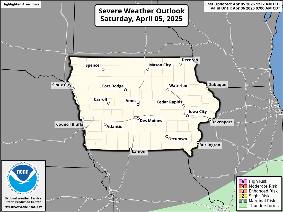
Day 1 Severe Weather Outlook

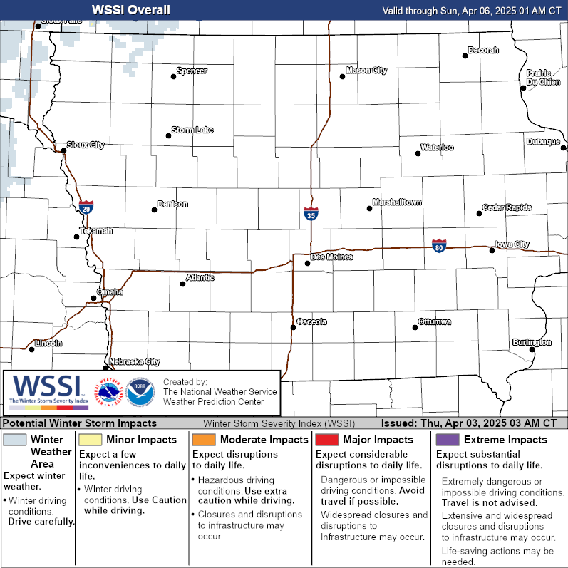
Winter Storm Severity Index
The Winter Storm Severity Index (WSSI) provides a graphic representation of the severity of winter weather conditions, helping to assess the impact of storms.

Iowa Road Conditions
Road conditions in Iowa provided by the Iowa State Patrol and Iowa Department of Transportation (Iowa DOT).

Arctic Cold Continues, Snow Chances Rise Later This Week
Iowa is in the grip of a deep cold snap today, with Arctic air pushing wind chills into dangerous territory, but relief is on the way starting Tuesday as temperatures begin to rise. Snow chances also increase through the week.
KEY MESSAGESArctic Cold Today and Tonight: Bitter cold will persist as temperatures struggle to stay above zero, with wind chills ranging from -20°F to -35°F, especially in northern Iowa.
Snow Chances: Light snow may develop Tuesday night into Wednesday, with another chance for flurries or light snow late Thursday. Snow accumulation is expected to remain minimal.
Relief Coming Tuesday: Warm air advection will slowly lift temperatures through Tuesday, with highs gradually returning to near seasonal norms by Wednesday.
Short-Term Forecast (Today through Tuesday)
Confidence: HighA broad upper trough remains entrenched over much of the central U.S., with a 500mb low sitting between the Great Lakes and Hudson Bay. This setup, along with a 1040+mb surface high anchored over the northern Plains, will continue to funnel Arctic air into Iowa today. Temperatures will remain very cold, especially in northern Iowa, where conditions will feel bitter, and wind chills will be dangerously low—ranging from -20°F to -35°F.
Cloud cover will increase throughout the day as a shortwave trough rounds the upper low, bringing the potential for high cloud bands, HCRs (horizontal convective rolls), and scattered flurries. While snowfall will be light, these flurries may add a brief dusting in areas of higher moisture content. As the surface high dislodges eastward tonight, skies will clear, and conditions will become favorable for radiational cooling. The coldest temperatures will likely occur overnight, especially in northern Iowa, where lows could fall as low as -20°F or colder. However, with light winds (5-10 mph), the actual temperature drop may be limited, but wind chills will still be dangerous.
On Tuesday, warm air advection will begin to lift temperatures, gradually breaking the Arctic cold snap. As the cold air mass shifts east, temperatures will rise through the single digits and teens during the day, and continue to warm slightly overnight.
Extended Forecast (Wednesday through Friday)
Confidence: MediumThe warming trend will continue on Wednesday, with temperatures returning to more seasonal norms. Highs will be in the 20s and 30s, which is closer to what we expect for mid-January. Northwesterly flow aloft will persist, which means periodic chances for light precipitation.
The first of these windows for light snow will open Tuesday night into Wednesday, as thermal forcing from mid-level fgen (frontogenesis) supports a band of snow sliding across the state from northwest to southeast. The highest chance for measurable snow will be across northern Iowa, with a 30-60% chance for precipitation. Accumulations are expected to remain light, with up to 1 inch possible in some areas, but with the dry conditions left behind by the Arctic air, moisture availability will be limited. As a result, the snow may not be widespread.
A second opportunity for light snow or flurries will occur late Thursday into Friday as another shortwave drops through the region. This disturbance may bring a fresh round of light snow, primarily to western Iowa, but models are starting to diverge, so confidence in exact timing and location remains low. Further snow chances are possible into the weekend, but the forecast remains uncertain at this point.
Looking Ahead:
By the weekend, the upper-level flow will flatten out, and though additional light snow or flurries may be possible, confidence in timing and location is low. Temperatures will continue to gradually rise toward more typical January levels, but until then, the cold temperatures will continue to dominate, making travel and outdoor activities potentially hazardous due to the extreme cold.
Brief Warm-Up Followed by Arctic Cold This Weekend
A brief warm-up will bring milder temperatures through Friday, but expect a sharp drop in temperatures this weekend with wind chills as low as -20°F.
Short-Term Forecast (Today through Friday)
Confidence: HighCloud cover associated with a passing mid-level wave has helped keep temperatures from plummeting overnight, though it’s still been a chilly night, with temperatures in the single digits above and below zero. Light winds have helped mitigate wind chill concerns, but winds will pick up as the surface high moves eastward, bringing southerly winds toward daybreak. Wind chills could dip into the single digits and teens below zero this morning, but temperatures will recover into the mid 20s to near 30°F by the afternoon.
Later today, a shortwave moving through Minnesota and Wisconsin will clip the northern part of the state, bringing the possibility of light snow. While some lift may saturate the dendritic growth zone (DGZ), a dry sub-cloud layer will limit the intensity and coverage, so little to no accumulation is expected. Some flurries may occur further south, but snow should not be a significant concern.
Thursday and Friday will bring a brief warm-up, with highs reaching the 30s on Thursday and into the 40s on Friday. These mild conditions will be short-lived, as another Arctic cold front approaches.
Extended Forecast (Saturday through Next Week)
Confidence: HighA vigorous shortwave crossing the southern Canadian prairies will carve out a deep longwave trough, dislodging a cold airmass back into the U.S. The initial cold front will push through Iowa late Friday, ushering in a period of cold air advection (CAA) that will continue throughout the weekend. High temperatures on Sunday and Monday will struggle to reach the single digits, with wind chills likely ranging from -10°F to -20°F or colder, especially in northern Iowa.
While the air will be extremely dry and moisture-starved, making snowfall unlikely, the bitter cold will be the primary concern. Wind chill advisories are becoming more likely, particularly in the northern parts of the state, where dangerously cold conditions will pose a risk to exposed skin.
Temperatures will start to recover toward the middle of next week as the cold airmass erodes and heights aloft build, but expect a few more days of cold before the thaw.
A Chilly Transition: Iowa Weather Updates and Weekend Outlook
As we move through the week, Iowa residents can expect a gradual transition into colder weather accompanied by varying cloud cover and a few chances for light snow. Here’s what’s in store:
Today’s Weather (Tuesday)
The day begins relatively calm, but a shift is underway. A cold front aloft, supported by an Arctic high-pressure system over southern Canada, will bring colder air and increased cloudiness by tonight.
This morning, central Iowa will experience a wind shift as the upper-level cold air pushes southward. The US30 corridor, already colder due to lingering snow from last week, will remain a few degrees chillier than surrounding areas. Highs across central Iowa will range from the upper teens to lower 20s under partly sunny skies, though areas west of Iowa will likely remain mostly cloudy.
By tonight, a weak ridge will build over the region, resulting in clear skies and light north winds. Overnight temperatures will drop to the single digits, with some areas approaching zero by Wednesday morning.
Midweek Weather (Wednesday and Thursday)
The ridge shifts eastward on Wednesday, bringing a more westerly component to winds aloft. While warmer air will build above the surface, a strong inversion will prevent much of this warmth from reaching the ground. Highs on Wednesday will remain consistent with Tuesday, staying in the upper teens to lower 20s despite more sunshine.
By late Wednesday night, a northern stream wave will approach Iowa. While a separate southern system will track far to the south, the northern wave could bring light snow to Iowa Thursday evening. Current guidance suggests a dusting of accumulation is possible, and snow chances (PoPs) have been adjusted to 20–30% for Thursday night.
Thursday will see some slight warming ahead of the cold front, with highs recovering to the upper 20s to around 30 degrees. Overnight temperatures will once again fall back into the single digits.
Long-Term Forecast (Friday through Monday)
Confidence in the extended forecast is moderate, with key details still developing.
• Friday: A return to northwest flow will follow the passage of Thursday’s front, keeping temperatures steady. Highs will remain in the upper 20s.
• Saturday-Sunday: A quick-moving system from Canada will likely arrive over the weekend. Model guidance varies, with one scenario favoring a southerly track and slightly higher snow chances for Iowa, while another suggests a northern track with less impact. Regardless of the exact path, light snow accumulations are possible, particularly Saturday night into Sunday. Highs will remain in the upper 20s both days, though Sunday may trend slightly cooler.
• Monday: Colder air will settle in, with highs dropping to the mid-teens in northern Iowa and the lower 20s in the south. Further adjustments may be needed as models refine their predictions.
Key Takeaways
• A colder pattern is taking hold, with highs mostly in the upper teens to lower 20s through midweek.
• Light snow is possible Thursday evening and again over the weekend, though accumulation will likely remain light.
ALERT: Snow Squall Warning Issued
A dangerous snow squall is impacting portions of central Iowa.
The National Weather Service (NWS) in Des Moines has issued a Snow Squall Warning for several counties in central Iowa, including Polk, Story, Greene, Madison, Guthrie, Boone, Adair, Dallas, and Warren. The warning remains in effect until 8:30 AM CST, with rapidly deteriorating travel conditions expected.
At 7:22 AM CST, radar and webcam observations detected an intense snow squall along a line extending from Ogden to De Soto to 4 miles east of Lenox, moving east at 25 mph. This squall is producing intense bursts of heavy snow, reducing visibility to less than half a mile. While winds are generally below 15 mph, blowing snow is exacerbating visibility issues, creating potentially life-threatening travel conditions.
The warning impacts major roadways, including Interstate 35 between mile markers 45-72 and 87-126, Interstate 80 between mile markers 90-142, and Interstate 235 between mile markers 1-14. Cities within the affected area include Des Moines, Ames, West Des Moines, Ankeny, Urbandale, Indianola, Boone, Winterset, and Jefferson, among others.
Travelers are advised to slow down and exercise extreme caution as conditions can change suddenly, leading to whiteouts and slick roads. If possible, avoid or delay travel until the squall passes. For those who must travel, additional time and vigilance are essential to navigate the hazardous conditions safely.


